Stop Wasting Gas! How to Measure Lawn Care Jobs From Your Desk Using Satellite Estimates
Automate your lawn care bids with satellite estimating software. Learn how to save time, increase accuracy, and win more landscaping jobs with this essential guide.
Stop Wasting Gas! How to Measure Lawn Care Jobs From Your Desk Using Satellite Estimates
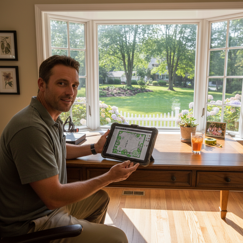
TL;DR: Automated satellite estimating uses aerial imagery to quickly measure properties and generate lawn care bids without site visits. This guide explains how to leverage this technology to save time, improve accuracy, and win more jobs. We'll cover finding the right automated satellite estimating software and integrating it into your workflow.
Welcome, Landscaping & Lawn Care Owners! Tired of spending hours measuring properties and creating bids? Automated satellite estimating is your game-changer. This guide will show you exactly how to harness the power of satellite imaging lawn care estimates.
What is Automated Satellite Estimating?
This technology uses high-resolution satellite and aerial imagery to create virtual models of properties. You can then virtually measure lawns, beds, trees, and other features directly on your computer. It's like having a magic tape measure at your desk.
Why Use Automated Satellite Estimating?
- Save Time: Eliminate tedious drive-bys and manual measuring.
- Increase Accuracy: Reduce human error in measurements.
- Improve Consistency: Ensure all bids are based on the same data.
- Win More Bids: Respond faster to inquiries and get lawn care bids from satellite out quickly.
- Enhance Professionalism: Present detailed and precise proposals.
How to Get Started with Automated Satellite Estimating
Choosing the right tool is crucial for success. You'll want software designed for landscaping professionals.
Step 1: Understand Your Needs
Consider the types of services you offer. Do you primarily do mowing, or also design, hardscaping, or tree care? This will influence the features you need.
Step 2: Research Software Options
There are several excellent best satellite estimating tools for landscapers available. Look for features like:
- Accuracy of imagery: High-resolution is key.
- Ease of use: An intuitive interface saves training time.
- Measurement tools: Ability to measure various areas and features.
- Integration: Can it connect with your CRM or bidding software?
- Reporting: Clear and detailed bid summaries.
Step 3: Compare Key Players
When evaluating automated satellite estimating software, it's good to see how different platforms stack up.
- PropertyIntel: Known for its user-friendly interface and specialized features for landscaping, including detailed measurements for turf, beds, and even hardscapes. They often provide excellent data resolution.
- Aspen™: A strong contender offering robust measurement capabilities and often integrating well with other business management tools. It's a comprehensive solution for many landscaping operations.
- DroneDeploy: While primarily a drone-mapping platform, it can leverage aerial imagery for measurement and analysis. It offers flexibility but might require more setup or a steeper learning curve for pure satellite-based estimating.
[!IMPORTANT] Don't just look at features; consider the pricing models and customer support. A free trial is your best friend for hands-on testing.
Step 4: Learn to Use Your Chosen Software
Once you've selected a platform, dive into their training resources. Most offer webinars, tutorials, and knowledge bases.
How to Use Satellite Data for Landscaping Estimates
The process is straightforward once you have your software.
Step 1: Locate the Property
Enter the property address into your automated satellite estimating software. The system will pull up the relevant aerial imagery.
Step 2: Measure Key Areas
Use the software's tools to measure:
- Lawn size: Crucial for mowing and fertilization bids.
- Bed areas: Important for mulching, planting, and edging.
- Tree canopy spread: For pruning or removal estimates.
- Hardscape dimensions: For patios, walkways, or retaining walls.
[!TIP] Familiarize yourself with the software's shortcut keys and advanced measurement features to speed up your workflow.
Step 3: Input Additional Data
While satellite data provides measurements, you'll need to add other crucial information:
- Service type: Mowing, trimming, fertilizing, aeration, etc.
- Material costs: Mulch, fertilizer, plants, etc.
- Labor rates and time estimates: Factor in your team's efficiency.
- Overhead and profit margins: Ensure your bids are profitable.
Step 4: Generate Your Bid
Most automated satellite estimating software can generate detailed proposals directly from your measurements and input. This allows you to get lawn care bids from satellite to clients quickly.
Integrating Satellite Estimating into Your Workflow
- Initial Inquiries: Use it as the first step for any new lead. This lets you respond faster and get lawn care bids from satellite to potential clients almost instantly.
- Client Presentations: Use the visual data in your proposals to show clients exactly what you're measuring and why. This adds transparency and builds trust.
- Existing Client Reviews: Periodically review your existing properties to ensure your pricing is still accurate and identify upsell opportunities.
Common Mistakes to Avoid
- Relying Solely on Satellite Data: Always double-check critical measurements or complex areas. Satellite is a tool, not a replacement for professional judgment.
- Not Understanding Software Limitations: Different resolutions and imagery dates can affect accuracy.
- Skipping Training: Invest time in learning your chosen satellite imaging lawn care estimates tool thoroughly.
The Future is Automated
Embracing automated satellite estimating software is no longer a luxury, it's a necessity for competitive landscaping businesses. It empowers you to work smarter, not harder, and to deliver more accurate, professional bids. Start exploring the best satellite estimating tools for landscapers today and transform how you estimate your services!