How to Stop Wasting Time on Phone Calls and Automate Your Auto Repair Shop with an AI Receptionist
Automate your auto repair shop's phone calls with an AI voice receptionist. Learn how to choose, implement, and leverage this technology to reduce missed calls and boost efficiency.
How to Stop Wasting Time on Phone Calls and Automate Your Auto Repair Shop with an AI Receptionist
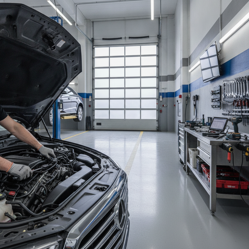
TL;DR: An AI voice receptionist automates your auto repair shop's phone calls. It handles appointment booking, answers FAQs, and reduces missed calls, freeing up your staff. This guide helps you choose and implement one.
Welcome, shop owners! Let's talk about a game-changer for your business: AI voice receptionists. Imagine never missing another customer call or having your service advisors tied up with basic questions. This technology is here to help you reduce missed calls and improve customer experience.
What is an AI Voice Receptionist for Auto Repair?
An AI voice receptionist for auto repair is a sophisticated software that answers your business phone line. It uses artificial intelligence to understand spoken language and respond naturally. Think of it as a 24/7 front desk for your auto shop.
It can handle a surprising amount of tasks, from answering common questions to even scheduling appointments. This is a powerful tool for mechanics and shop owners looking to streamline operations.
Benefits for Your Auto Repair Shop
- 24/7 Availability: Your phones are answered even when you're closed or busy.
- Improved Customer Service: Customers get immediate responses to inquiries.
- Increased Efficiency: Staff can focus on service and repairs, not answering phones.
- Reduced Missed Calls: Every potential customer gets to interact, reducing missed calls and lost business.
- Automated Appointment Booking: Voice AI appointment booking auto repair can directly put jobs on your schedule.
[!IMPORTANT] Implementing an AI virtual receptionist auto shop solution can significantly boost your revenue by capturing every lead.
Choosing the Right AI Receptionist
Not all AI solutions are created equal. When selecting an AI receptionist for auto repair, consider these factors.
- Industry Specialization: Does it understand automotive terms?
- Integration Capabilities: Can it connect with your existing CRM or scheduling software?
- Customization Options: Can you tailor its responses to your shop's specific services and hours?
- Cost and Scalability: Does it fit your budget now and grow with you?
Comparing Top AI Solutions
Let's look at some contenders in the market.
-
PrimeSync or AutoLeap AI: These platforms are often praised for their automotive industry focus. They are designed to understand the nuances of automated phone answering service mechanics expect. Features like voice AI appointment booking auto repair are often core functionalities.
-
Competitor A (General AI Receptionist): A good general-purpose AI that can be trained. However, it might require more effort to customize it for the specific language and workflow of an auto repair shop.
-
Competitor B (Basic Voicemail System): Offers basic message taking but lacks the intelligence for true interaction or appointment booking. It won't reduce missed calls in the way a smart AI can.
[!TIP] Look for solutions that explicitly mention features for automated phone answering service mechanics.
Implementation Steps
Getting your AI receptionist up and running is straightforward.
Step 1: Select Your Provider
- Research based on the comparison above.
- Request demos from your top choices.
- Choose the one that best fits your shop's needs and budget.
Step 2: Configuration and Training
- Define Your Goals: What do you want the AI to handle? (Appointments, FAQs, call routing).
- Program FAQs: Input answers to common questions about services, hours, and location.
- Set Up Appointment Logic: Configure how the AI will offer available slots for voice AI appointment booking auto repair.
- Record Greetings: Personalize the AI's voice and introductory messages.
Step 3: Integration with Existing Systems
- Connect the AI to your calendar or shop management software.
- Ensure seamless data transfer for appointments and customer information.
- This is crucial for making the AI virtual receptionist auto shop truly effective.
Step 4: Testing and Refinement
- Test the system with internal calls first.
- Have friends and family call to simulate customer interactions.
- Monitor conversations and adjust responses as needed.
- This step is key to ensuring your AI receptionist for auto repair performs flawlessly.
Step 5: Go Live!
- Update your website and business listings with your new AI-powered phone number or instructions.
- Inform your staff about how the AI works and how to handle escalated calls.
- Start enjoying the benefits of reducing missed calls and freeing up your team.
Ongoing Management
- Regularly review call logs to identify any recurring issues or new FAQ opportunities.
- Update information as your services or hours change.
- Stay informed about new features your provider offers.
An AI voice receptionist is more than just an answering machine; it's a smart assistant that can transform how you manage customer interactions, directly impacting your shop's efficiency and profitability.