How to Slash Your Quoting Time and Land More Jobs with Automated Satellite Estimating
Automate your landscaping bids with AI-powered satellite estimating. Save time, increase accuracy, and quote remotely with ease. Discover the best software tools for effortless property measurements.
How to Slash Your Quoting Time and Land More Jobs with Automated Satellite Estimating
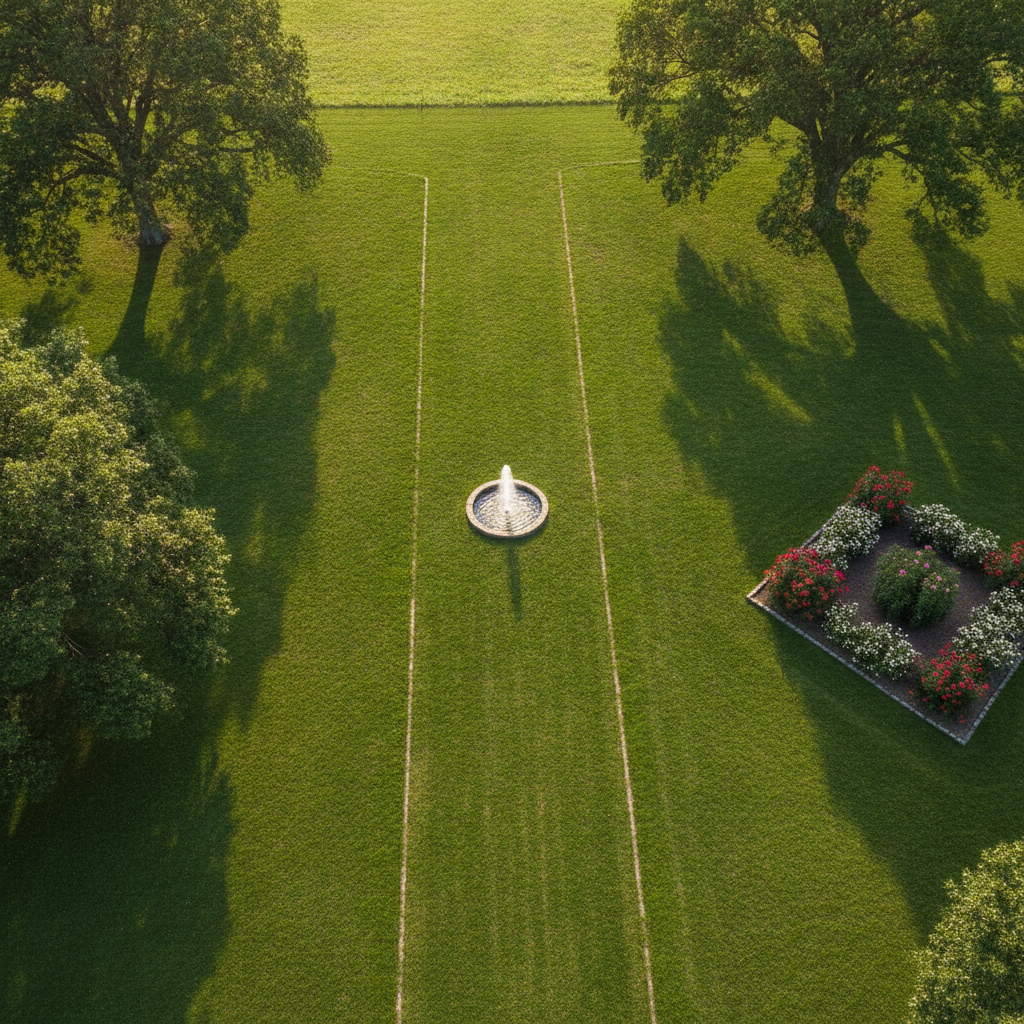
TL;DR: Automated satellite estimating uses aerial imagery and AI to quickly measure properties for landscaping bids. This saves time, increases accuracy, and allows for remote quoting. Tools like PropertyIntel, DroneDeploy, and Measure help generate precise measurements and material lists from satellite views, transforming how landscapers provide quotes.
Welcome, fellow landscaping and lawn care entrepreneurs! Are you tired of the time drain and potential errors of manual property measurements? Let's dive into the world of Automated Satellite Estimating, a game-changer for your business.
What is Automated Satellite Estimating?
This technology leverages high-resolution satellite imagery and advanced algorithms to measure properties digitally. Instead of walking every square foot, you're using a computer to do the heavy lifting. It's a powerful form of aerial estimating for landscaping companies.
Why Use Automated Satellite Estimating?
The benefits are significant. You can generate accurate bids much faster, allowing you to serve more clients. It also reduces on-site visits, saving travel time and costs, especially for those looking for software for remote landscaping quotes.
[!TIP] Imagine being able to provide a quote within minutes of a client's initial inquiry, without ever leaving your office!
How to Get Started with Automated Satellite Estimating
The process is more straightforward than you might think. It primarily involves selecting the right satellite estimating software for landscapers.
Step 1: Understand the Core Technology
At its heart, this involves analyzing aerial imagery to calculate dimensions. These tools use sophisticated mapping and measurement capabilities. They transform raw data into usable property metrics.
Step 2: Choose Your Software
This is a crucial decision. There are several excellent options available to help with automated lawn care estimates.
- PropertyIntel: This platform is specifically designed for the green industry. It offers robust features for satellite measurement tools for lawn care and integrates seamlessly into business workflows.
- DroneDeploy: While often associated with drone-captured data, DroneDeploy also utilizes satellite imagery for mapping and measurement. It's a powerful all-in-one solution.
- Measure: This is another strong contender known for its accuracy in mapping and measurement, suitable for various land-based industries including landscaping.
[!IMPORTANT] When comparing, look at ease of use, integration with your existing estimating or CRM software, and the specific features relevant to your services.
Step 3: Input Property Details
Once you've chosen your software, you'll typically start by entering the property address. The system then pulls up the relevant satellite imagery. You might then be able to draw boundaries or refine existing ones within the software.
Step 4: Measure Key Areas
This is where the magic happens. You can digitally outline:
- Lawns for mowing and fertilization.
- Flower beds for mulching and planting.
- Hardscape areas like patios and walkways.
- Tree canopies for pruning services.
The software automatically calculates square footage, linear feet, and sometimes even cubic yards for materials like mulch.
Step 5: Generate Your Estimate
With measurements in hand, you can then plug these into your estimating templates. Many satellite estimating software for landscapers offer integration or export options to streamline this. This dramatically speeds up the process of creating automated lawn care estimates.
Advanced Features and Benefits
- Accuracy: Satellite measurement tools for lawn care are incredibly precise, reducing the risk of under- or over-bidding.
- Efficiency: Significant time savings compared to manual on-site measurements.
- Professionalism: Deliver polished, accurate proposals quickly.
- Remote Capabilities: Perfect for businesses offering software for remote landscaping quotes, expanding your service area without increasing travel time.
[!TIP] Consider exploring features like 3D modeling and historical imagery if your chosen software offers them. These can provide even deeper insights.
By embracing automated satellite estimating, you're not just adopting new technology; you're upgrading your business's efficiency, accuracy, and capacity. This allows you to focus more on delivering exceptional service and less on tedious administrative tasks.