How to Slash Your Estimating Time and Win More Lawn Care Bids with Satellite Tech
Revolutionize your lawn care business with automated satellite estimating. Learn how to generate faster, more accurate bids and boost your win rate, saving time and money on site visits.
How to Slash Your Estimating Time and Win More Lawn Care Bids with Satellite Tech
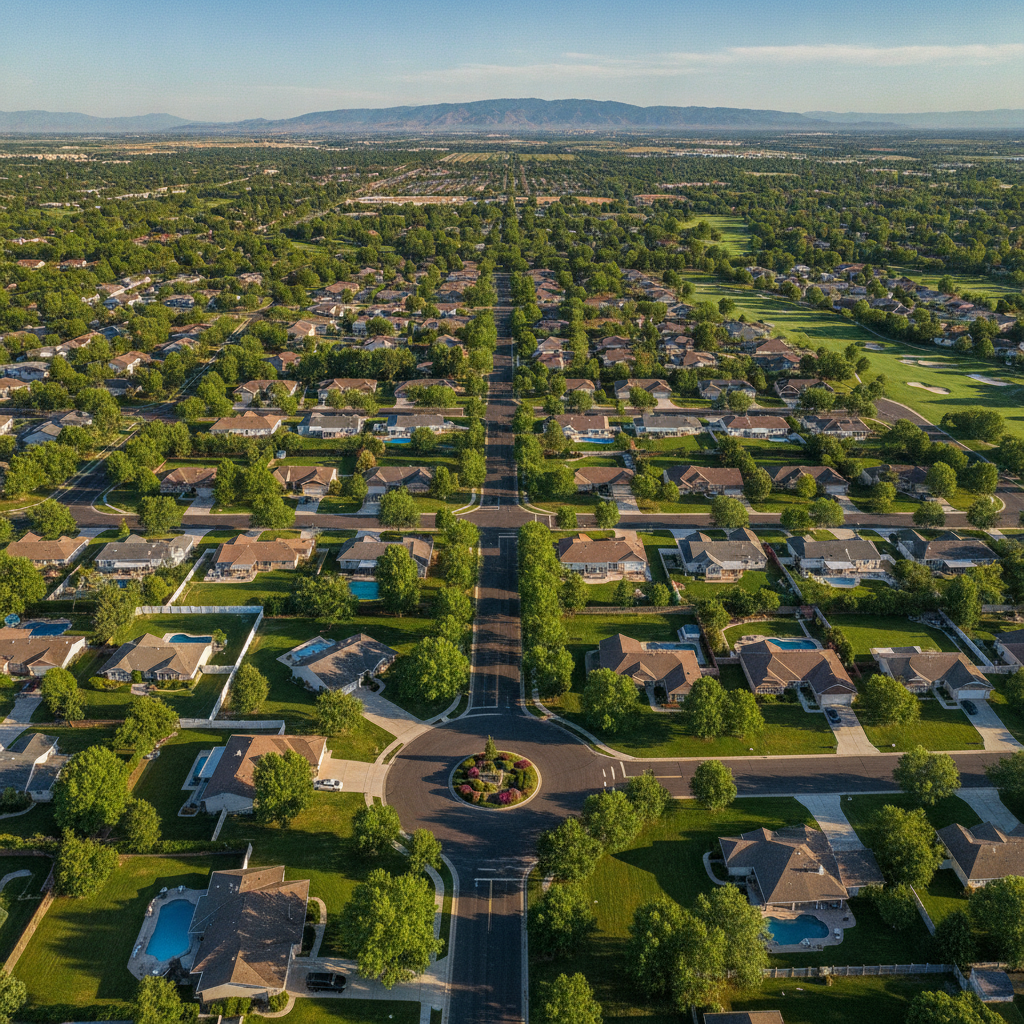
TL;DR: Automated satellite estimating uses aerial property measurement software to quickly create quick satellite estimates for lawn care. It reduces manual site visits, speeds up landscaping bid software processes, and improves accuracy. Key benefits include faster turnaround, better win rates, and increased efficiency for automated lawn care estimates.
Welcome, Landscaping & Lawn Care Owners! Let's talk about a game-changer for your business: Automated Satellite Estimating. This powerful technique leverages technology to save you time and money.
What is Automated Satellite Estimating?
Automated satellite estimating is the process of using high-resolution satellite imagery and advanced software to measure property features. This allows you to generate detailed estimates without needing to visit every property in person. Think of it as having a virtual tape measure for your clients' yards.
This technology is revolutionizing how businesses create automated lawn care estimates. It's especially useful for recurring services and for businesses looking to scale their operations.
Why Use Automated Satellite Estimating?
The benefits are substantial for any landscaping or lawn care business owner. You can significantly reduce the time spent on manual measurements and site visits. This frees up your team for more billable work.
Quick satellite estimates for lawn care mean you can respond to leads much faster. This increased speed can lead to a higher closing rate on bids.
How to Get Started with Automated Satellite Estimating
Step 1: Understand the Technology
At its core, this process relies on aerial property measurement software. These platforms utilize satellite imagery, often combined with other data sources like LiDAR, to map out property boundaries, structures, and landscape features. The software then calculates precise measurements.
This is the foundation of modern landscaping bid software. It provides the data needed to create accurate and competitive proposals.
Step 2: Choose Your Software
There are several excellent options available. We'll compare PropertyIntel with two other popular choices.
- PropertyIntel: Known for its user-friendly interface and robust feature set, PropertyIntel offers comprehensive tools for satellite estimating software. It excels at providing detailed property data for accurate automated lawn care estimates.
- Xactimate: While widely used in the insurance restoration industry, Xactimate also offers powerful measurement capabilities that can be adapted for landscaping. It’s known for its detailed scope of work features.
- DroneDeploy: This platform focuses on drone data but also integrates with satellite imagery. It's a strong contender if you're considering incorporating drone surveys alongside aerial property measurement software.
[!IMPORTANT] When selecting software, consider factors like ease of use, pricing, integration with your existing CRM or quoting tools, and the level of detail provided for your specific services.
Step 3: Learn the Software
Once you've chosen a platform, invest time in learning its capabilities. Most providers offer tutorials and support resources. Understand how to navigate the interface, interpret the measurements, and generate reports.
This learning curve is crucial for maximizing the efficiency of your landscaping bid software. Proper training ensures you're leveraging the full power of quick satellite estimates for lawn care.
Step 4: Integrate into Your Workflow
The next step is to integrate automated satellite estimating into your daily operations. This means training your sales team or estimators on how to use the software. Establish a clear process for when and how to utilize these estimates.
[!TIP] Start by using satellite estimates for a portion of your leads, perhaps for residential properties or routine maintenance bids. As you gain confidence, expand its use to more complex projects.
Step 5: Refine and Optimize
As you use the software, you'll identify areas for improvement. Are your estimates consistently accurate? Are you able to generate bids quickly enough? Collect feedback from your team and clients.
Continuously refining your process with satellite estimating software will lead to better results. This iterative approach is key to staying competitive with automated lawn care estimates.
Key Benefits to Highlight
- Speed: Generate estimates in minutes, not hours or days.
- Accuracy: Reduce errors caused by manual measurements and estimations.
- Efficiency: Free up valuable time for your sales and operations teams.
- Cost Savings: Minimize travel expenses and reduce the need for repeated site visits.
- Professionalism: Present clients with detailed, data-driven proposals.
By embracing automated satellite estimating, you're investing in the future of your landscaping and lawn care business. This technology empowers you to deliver faster, more accurate, and more competitive bids.