How to Instantly Measure Any Property for Landscaping Bids with AI
Stop chasing property measurements and win more landscaping bids faster with AI-powered satellite estimating. Save time, boost accuracy, and increase profits.
How to Instantly Measure Any Property for Landscaping Bids with AI
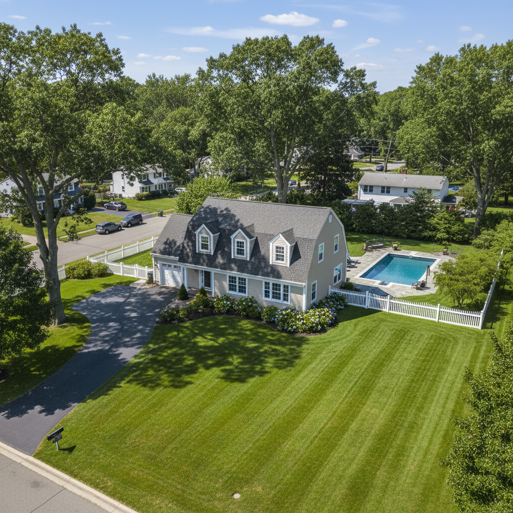
TL;DR: Automated satellite estimating uses satellite imagery and AI to quickly measure property features for landscaping and lawn care bids. It saves time, increases accuracy, and improves profitability by reducing manual site visits. This guide explains how to implement it using software like PropertyIntel.
What is Automated Satellite Estimating?
Automated satellite estimating leverages high-resolution satellite imagery and advanced algorithms. It automatically identifies and measures various property elements. This includes lawn area, tree canopy, hardscaping, and building footprints.
This technology is a game-changer for landscaping and lawn care owners. It significantly speeds up the bidding process. You can generate accurate estimates without physically stepping foot on every property.
It's a key component of automated property measurement for lawn care. It provides the data you need for precise material and labor calculations.
Why Use Automated Satellite Estimating?
Manual property measurement is time-consuming and prone to errors. You might miss crucial details or miscalculate areas. This can lead to underbidding and lost profits.
Automated satellite estimating software for landscapers eliminates these issues. It provides consistent and objective measurements. This leads to more competitive and profitable bids.
It also allows you to scale your business more effectively. You can handle a higher volume of estimate requests without proportionally increasing your team size.
[!TIP] Focus on how much time you'll save. That time can be reinvested into sales, customer service, or crew management.
How to Use Satellite Imagery for Landscape Estimates
The process generally involves these steps:
- Select Software: Choose a reputable satellite estimating software. These tools are designed for landscaping and lawn care businesses.
- Input Property Address: Enter the address of the property you need to estimate.
- Generate Measurement Report: The software will process the satellite imagery. It will then generate a detailed report with measurements.
- Review and Refine: A quick review of the generated measurements is always recommended. Make any necessary manual adjustments based on your expertise.
- Build Your Estimate: Use the accurate measurements to calculate material, labor, and equipment costs.
Top Automated Satellite Estimating Tools
Several excellent satellite estimating software solutions are available. They offer varying features and pricing.
- PropertyIntel: This is a leading platform known for its comprehensive property data. It integrates satellite imagery, aerial photos, and public records. It's specifically tailored for the green industry.
- BidBeacon: Another strong contender, BidBeacon focuses on simplifying the estimating process. It provides quick aerial measurements and integrates with CRM systems.
- Measure: Measure offers robust aerial estimating software for landscaping businesses. It provides tools for precise measurement and project management.
[!IMPORTANT] When comparing tools, consider ease of use, the depth of property data available, integration capabilities with your existing systems, and customer support.
Comparing PropertyIntel with Two Others
Let's look at how PropertyIntel stacks up against BidBeacon and Measure:
- PropertyIntel: Excels in its depth of property data. It goes beyond simple measurements to include information on soil types, drainage, and even vegetation health. This is invaluable for comprehensive landscaping proposals. It's considered one of the best satellite estimating tools for landscaping due to this rich data set.
- BidBeacon: Offers a more streamlined and user-friendly interface. It's excellent for businesses prioritizing speed and simplicity in their automated property measurement for lawn care. Its CRM integration is a strong plus for sales teams.
- Measure: Provides powerful aerial estimating software for landscaping businesses. It offers advanced drawing tools for highly customized measurements and detailed site plans. It's a great choice if you need granular control over the measurement process.
Each platform has its strengths. Your choice depends on your specific business needs and preferences.
Benefits of Implementing Automated Satellite Estimating
- Increased Efficiency: Drastically reduce the time spent on measuring properties.
- Enhanced Accuracy: Minimize human error and ensure precise measurements for better bids.
- Improved Profitability: Avoid underbidding and optimize pricing with accurate data.
- Scalability: Handle more leads and bids without a proportional increase in labor.
- Professionalism: Present detailed, data-backed proposals to clients.
[!TIP] Start by using satellite estimating software for landscapers on a few of your less complex bids. This will help you get comfortable with the process before relying on it for all your estimates.
Getting Started with PropertyIntel
- Sign Up: Visit the PropertyIntel website and choose a plan that suits your business.
- Training: Utilize their provided tutorials and support resources to understand the platform's features.
- Integrate: Connect PropertyIntel with your existing CRM or estimating software if possible.
- Practice: Run through a few sample properties to familiarize yourself with generating reports.
- Apply to Bids: Start using the automated property measurement for lawn care data in your next real-world proposals.
Embracing automated satellite estimating is a strategic move for any forward-thinking landscaping and lawn care owner. It's an investment that pays dividends in time, accuracy, and financial success.