How to Get Instant Landscaping Bids & Win More Jobs Using Satellite Estimating
Automate landscaping bids with satellite estimating! Get accurate property measurements instantly, speed up quotes, and win more jobs without site visits.
How to Get Instant Landscaping Bids & Win More Jobs Using Satellite Estimating
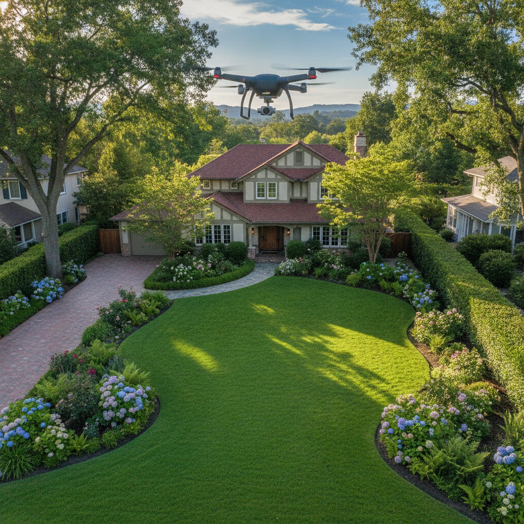
TL;DR: Automated satellite estimating uses aerial imagery and software to measure properties quickly, giving you instant site survey for landscaping bids. It helps create accurate estimates faster, improving your remote estimating software for landscapers capabilities. This guide explains how to get started with this game-changing technology.
What is Automated Satellite Estimating?
Automated satellite estimating leverages high-resolution aerial measurement tools lawn care professionals can use. It transforms how you create bids by providing precise property dimensions without physically visiting every site. This is a key part of automated property measurement software.
This technology uses satellite and aerial imagery combined with advanced algorithms. The software analyzes these images to automatically calculate square footage, linear feet, and other critical measurements. It’s the future of satellite estimating software landscaping.
Why Should Landscapers Use It?
Gone are the days of tedious manual measurements and driving to every potential job. Automated property measurement software significantly speeds up your quoting process. You can generate more bids in less time, increasing your chances of winning more work.
It also enhances accuracy. Manual measurements can be prone to errors. Satellite estimates provide a consistent and objective baseline for your pricing. This improves your remote estimating software for landscapers by removing guesswork.
How Automated Satellite Estimating Works
-
Accessing Imagery: The software pulls up-to-date aerial measurement tools lawn care providers need. This imagery can be satellite photos or drone-captured views.
-
Measurement Tools: You draw over the property boundaries and specific features like driveways or planting beds. The software instantly calculates areas and lengths. This is the core of automated property measurement software.
-
Generating Estimates: Based on the measurements, you input your pricing. The software then helps generate a detailed estimate, providing an instant site survey for landscaping bids.
Getting Started: Choosing the Right Software
Selecting the best satellite estimating software landscaping professionals use is crucial. Consider these factors:
- Ease of Use: The interface should be intuitive. You don't want to spend hours learning complicated software.
- Accuracy: The precision of the measurements is paramount for reliable bids.
- Features: Look for tools that measure different elements important to your business, like turf area, tree canopy, or hardscape.
- Integrations: Does it connect with your existing CRM or accounting software?
[!IMPORTANT] PropertyIntel is a popular choice for automated property measurement software. It offers a user-friendly interface and detailed measurement capabilities.
Comparing Software Options
When choosing your satellite estimating software landscaping solution, it's wise to compare. Here’s a look at how some options stack up:
- PropertyIntel: Known for its ease of use and comprehensive property data. It's a strong contender for an instant site survey for landscaping bids.
- DroneDeploy: While powerful for drone data, its initial setup for simple satellite estimates might be more complex for some. It excels if you already use drone services.
- Measure: Offers robust measurement tools but can sometimes have a steeper learning curve. It's a good option if you need highly specialized measurement features as part of your remote estimating software for landscapers.
[!TIP] Many providers offer free trials. Take advantage of these to test out the aerial measurement tools lawn care specialists rely on before committing.
Step-by-Step Guide to Your First Automated Estimate
Here’s how to begin using automated property measurement software:
Step 1: Sign Up and Set Up Your Account
- Choose a satellite estimating software landscaping provider.
- Complete the registration process.
- Familiarize yourself with the dashboard and account settings.
Step 2: Locate the Property
- Enter the address of the property you need to estimate.
- The software will load the available aerial measurement tools lawn care pros use.
- Zoom in and adjust the imagery for clarity.
Step 3: Measure Key Areas
- Use the drawing tools to outline the perimeter of the property.
- Measure specific areas like lawns, garden beds, or patios.
- Utilize tools for linear measurements, such as fence lines or pathways. This is key for an instant site survey for landscaping bids.
Step 4: Add Details and Materials
- Input information about existing conditions, like tree types or slopes.
- Add your pricing for different services and materials.
- This transforms raw measurements into a professional bid, enhancing your remote estimating software for landscapers.
Step 5: Generate and Send Your Bid
- The software will compile the data into a professional estimate.
- Review the estimate for accuracy and completeness.
- Send the bid directly to your client, providing that crucial instant site survey for landscaping bids.
Best Practices for Success
- Verify measurements: While automated, a quick visual check of key dimensions is always wise.
- Use it consistently: The more you use your automated property measurement software, the faster and more proficient you'll become.
- Train your team: Ensure everyone on your estimating team is comfortable using the aerial measurement tools lawn care sector is adopting.
- Update your software: Stay current with updates to ensure you have the latest features and imagery.
By embracing automated satellite estimating, you're not just saving time; you're investing in the efficiency and accuracy of your satellite estimating software landscaping operations. This technology is a powerful tool to help your business grow.